
Nov. 8, 2014 Nanaimo Luncheon with Michael Layland
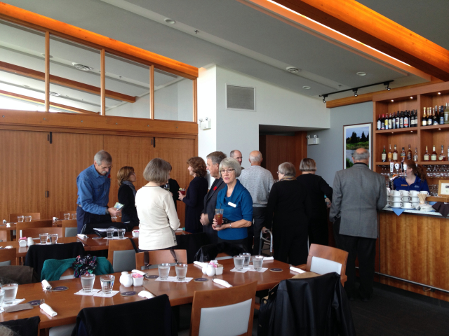
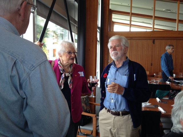
The first luncheon event (instead of dinner) for CS owners was held November 8th at the Nanaimo Golf Course clubhouse. We enjoyed a superb view of the golf course and the food was excellent. Our speaker was Michael Layland who spoke about his new book "Land of Heart's Delight" and of his deep interest in maps and charts, particularly those drawn many decades ago. An enjoyable presentation on an essential tool for every sailor. We were pleased to welcome new members as well. As always everyone had a sociable time. Many thanks to the members that picked up mainlanders from the ferry terminal and dropped them off! Watch for a short survey regarding the May 2015 Rendezvous destination. -- Joanne Graham, Commodore
The first luncheon event (instead of dinner) for CS owners was held November 8th at the Nanaimo Golf Course clubhouse. We enjoyed a superb view of the golf course and the food was excellent. Our speaker was Michael Layland who spoke about his new book "Land of Heart's Delight" and of his deep interest in maps and charts, particularly those drawn many decades ago. An enjoyable presentation on an essential tool for every sailor. We were pleased to welcome new members as well. As always everyone had a sociable time. Many thanks to the members that picked up mainlanders from the ferry terminal and dropped them off! Watch for a short survey regarding the May 2015 Rendezvous destination. -- Joanne Graham, Commodore
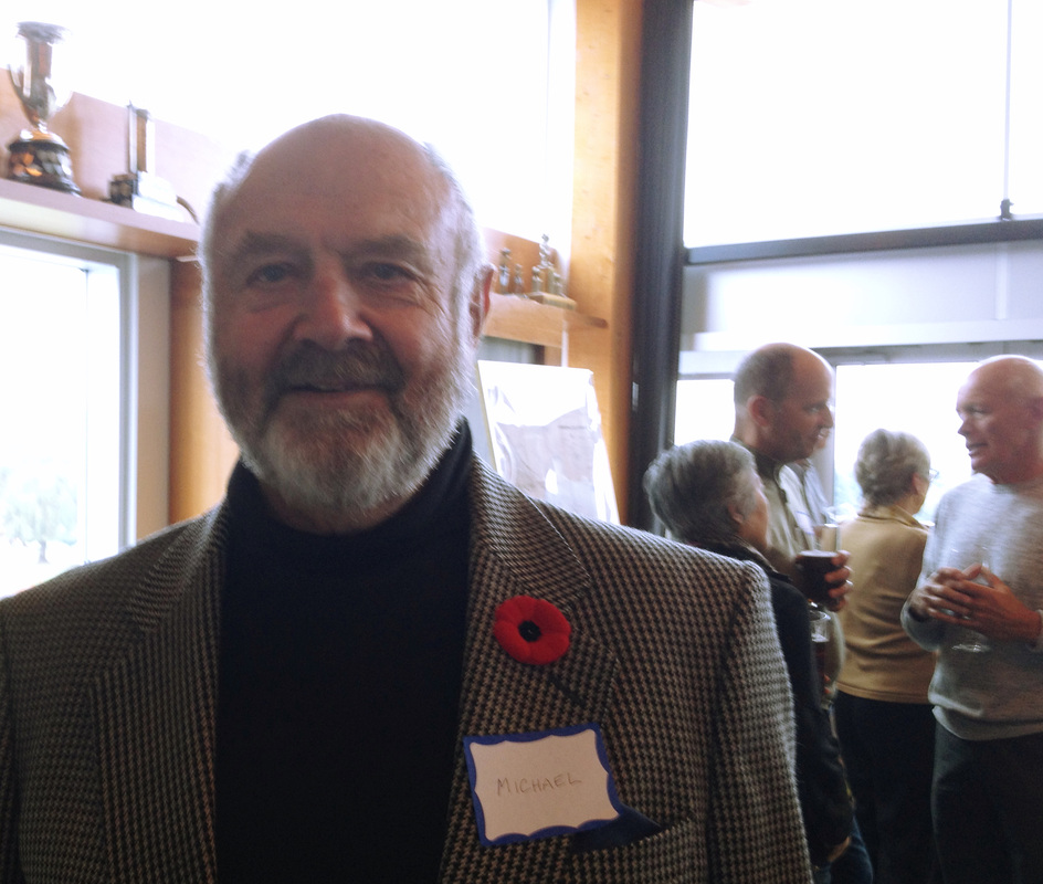
MIchael Layland - photos by Don Spinar
|

Luncheon at Nanaimo Golf Course clubhouse
|
|
|
Photos by Don Spinar
|
Michael Layland answers questions such as "How and why did Vancouver Island get onto the map? How was knowledge of our immediate geography acquired and recorded? With 130 maps dating between 1593 and 1915, this cartographic history tells the story of how Vancouver Island and the surrounding area came to be mapped. The accompanying text reveals the motives, constraints, agendas, and intrigues that underpin their making".
|
|
Michael Layland serves as the current president of the Friends of the BC Archives, is a former president of the Victoria Historical Society and is on the committee of the Historical Map Society of BC.
Visit Michael Layland's website: http://www.thelandofheartsdelight.com/ |